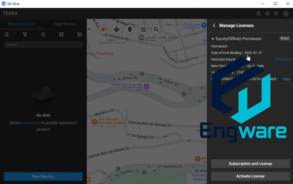
DJI Terra is DJI’s flagship desktop software for drone mapping and 3D reconstruction. It provides an end-to-end toolkit that transforms aerial imagery into survey-grade maps and models, supporting a wide range of enterprise applications including surveying, construction, agriculture, and public safety.
Version 4.5.0 introduces significant enhancements focused on improving 3D modeling accuracy and data processing efficiency . Key additions include scale constraints for visible light reconstruction that allow users to fine-tune model sizes to match real-world dimensions, coordinate system recommendations tailored to specific countries and regions, and expanded PPK processing support across a broader range of DJI hardware.
The software supports real-time 2D mapping during flight, 2D and 3D reconstruction from captured imagery, and LiDAR point cloud processing for detailed terrain and asset analysis . DJI Terra also includes Gaussian Splatting capabilities for photorealistic 3D visualization.
See also: Correlator3D, GreenValley LiDAR360 Suite and Virtual Surveyor.