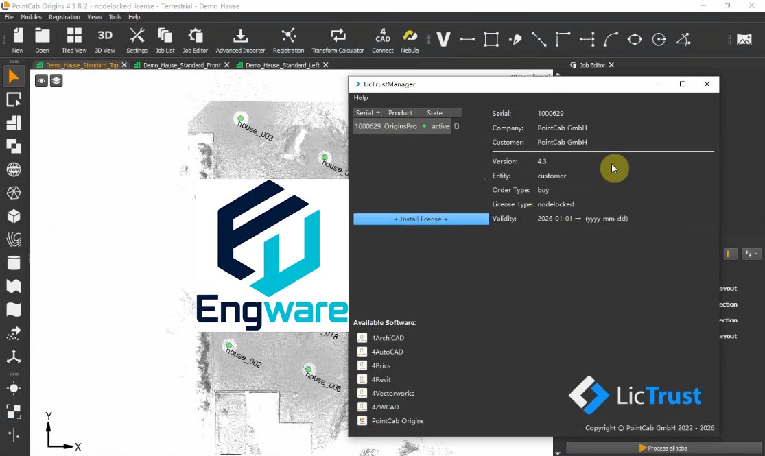
PointCab Origins converts laser scan data into two dimensional deliverables such as plan views, sections and elevations. Rather than modelling in three dimensions, it produces the orthographic images that architects and surveyors draw over.
This approach suits as built documentation where a dimensioned drawing, not a model, is the required output. Generated views export to CAD and BIM applications, and plug ins allow the results to be used directly in those environments.
See also: Faro As-Built for AutoCAD, Leica CloudWorx for BricsCAD and Leica CloudWorx For AutoCAD.