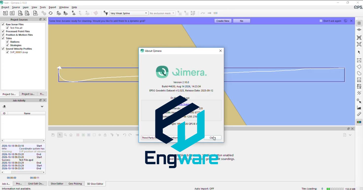
Qimera is multibeam bathymetry processing software for hydrographic survey work. It takes raw sonar data through cleaning, correction and surface generation to produce charts and digital terrain models of the seafloor.
The processing model is dynamic, so changing a sound velocity profile, tide file or calibration value reprocesses the affected soundings rather than requiring a restart. Cleaning tools work in swath, subset and three dimensional views, and quality flags follow internationally recognised hydrographic survey standards.
See also: QPS Qinsy, QPS Fledermaus and QPS FMGT.